How do location clues help with geocaching?
A shared search game links hidden containers with locations. Discover why coordinates help orientation but promise no safe route.
The short answer
In geocaching, you search with adults for a hidden container. Numbers describing its location are called coordinates. A device uses them to show roughly where to look. Extra clues help because the reading can be inaccurate.
Stay on permitted routes and out of restricted places.
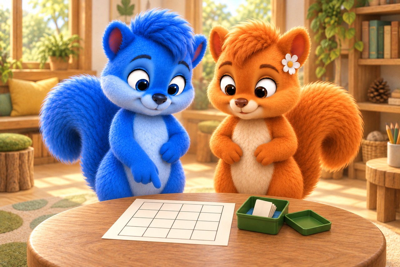
Puschel and Flauschi examine a practice container and invented paper map on a table. Invented paper exercise; no real GPS position, published cache or assessed route. AI-created illustration, not a photograph of nature.
What the diagram shows
The diagram simplifies the process. First compare its shapes and arrows. You can read its labels in larger text below.
Read the picture labels
These are the words and sentences from the diagram above. The full explanation follows below.
- Name one square: column first, then row
- A
- B
- C
- D
- 1
- 2
- 3
- 4
- B3
- B = second column
- 3 = third row from the top
- Both clues together identify the yellow square.
- The labels establish how this grid is read.
- Without a shared rule, a location clue may be misunderstood.
- B3 names a square here — not geographic latitude or longitude.
- A target supplies no safe or permitted route. Adults check both.
- Invented paper grid; no GPS readings, distances in metres or real map.
An imagined Wusel scene
Puschel and Flauschi investigate
On the practice map, Puschel treats the position dot as an exact hiding place. Flauschi shows the area of possible error. They read the extra clue and keep searching the model. Lumi remains part of their outdoor plan.
Look closely
In an invented learning room, Puschel and Flauschi examine a practice container and a paper map. The container is not a public hide. The map represents no real place; they are learning to read an agreed location clue.
An example to help you understand
Draw four columns labelled A, B, C and D from left to right and four rows numbered 1, 2, 3 and 4 from top to bottom. Mark square B3. Ask somebody else to find that square using the clue B3. The rule names the column first, then the row. Reverse the row direction in a second drawing: without updated labels, B3 could be misunderstood. This invented grid explains shared location descriptions; it is no map, GPS reading or real treasure route.
Try explaining it
Why search carefully even with coordinates?
Choose a), b) or c), then explain your choice.
- a)The position display is not perfectly exact.
- b)The dot shows the hiding place to the centimetre, so we replace all clues with it.
- c)A shifting dot means the hiding place itself is moving around.
Show the explanation
Correct: a): The position display is not perfectly exact.
In geocaching, you search with adults for a hidden container. Numbers describing its location are called coordinates. A device uses them to show roughly where to look. Extra clues help because the reading can be inaccurate.
Stay on permitted routes and out of restricted places.
Word help
- satellite
- A body orbiting a larger world, natural like the Moon or built by people.
- coordinates
- Numbers describing a location on a map or Earth.
Explore in more detail
Here you will find longer explanations and further details. You can explore them together.
1. A hiding place remains for other searchers
In geocaching, people use published locations to search for hidden containers. A cache means such a hiding place here. Many containers hold a logbook in which a find is recorded. Containers can look very different. You do not take the whole cache away: it returns to its original location so others can keep searching.
Checked against: [1]
2. Coordinates describe a location
Coordinates are related values describing a location within an agreed system. On Earth, geographic latitude and longitude are commonly used. The equator is an imaginary line around Earth’s middle, equally far from the North and South Poles. Latitude describes how far north or south of it a place lies. A meridian is an imaginary line from the North Pole to the South Pole. Longitude counts east or west from an agreed starting line, the reference meridian. Our paper grid instead uses letters and rows: B3 names a square, not a real GPS position. Without agreed labels, the clue would be unclear.
3. A device calculates; people check
A GPS receiver is a device that receives radio signals and uses them to calculate its location. It uses several satellites: here, machines orbiting Earth in space. GPS stands for Global Positioning System, a satellite navigation system. The displayed position is no error-free point guarantee. Buildings, trees and reception conditions can affect accuracy; readings may differ. A target location also does not automatically supply a suitable route. Adults assess terrain, permission and conditions themselves. The signals include transmission time and satellite position.
Travel time is the time between sending and receiving a signal. Signal travel time lets the receiver calculate the distance travelled. Several such distances together narrow down the receiver’s position. An ordinary three-dimensional GPS calculation, which also includes height, needs at least four satellite signals because it also solves the receiver clock’s time error. The device does not send a search request to the cache.
4. Search thoughtfully and report honestly
A description and additional hints help explain a hide. Searching does not permit trampling flower beds or damaging property. Somebody who finds no cache can honestly report “did not find.” A find is recorded in the logbook and the container carefully replaced. A paper activity requires no account, app or publicly hidden container.
An optional question for further exploration
You can use the longer explanation above. This is extra, not needed for the first quiz.
An extra question
Does a target coordinate guarantee a safe and permitted direct route to the target?
Discover the answer
No. A coordinate describes a location, not a safe or permitted route. Readings may also differ. Adults check the route and rules; children stay with them. Our paper clue B3 needs both column and row labels.
Pictures and sources for adults
Sources for further reading
Facts checked against the specialist sources below on 12 October 2026. The Wusel scene is fictional; comparisons and simplified models are explicitly explained. Sources are in English.